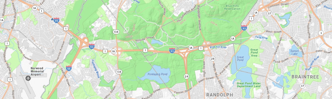
The map was designed by MassGIS staff in Esri's ArcGIS Pro software and was cached (pre-rendered) into tile layers for the Web The caching process greatly speeds the display of all basemap features. A single basemap cache combines a topographic base, detailed features and 2D building structures. Each is stored in MassGIS' ArcGIS Online organizational account and is described below.
This tile cache is used as the basemap in the MassGIS Basemap web map.
MassGIS has also prepared other tile caches so that you can construct the full basemap yourself, which allows you to display other layers above or below any of these individual tile layers, which are available from the "Tiled Layers" menu in MassMapper:
-
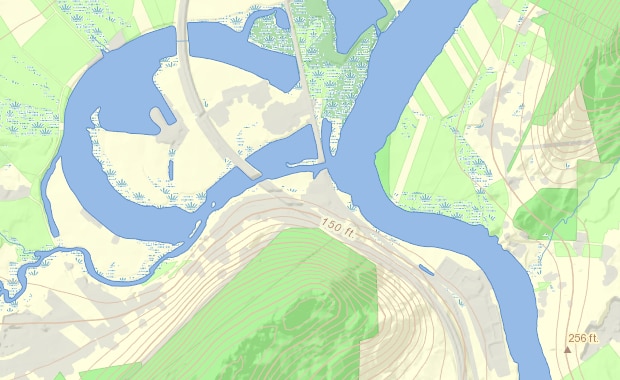
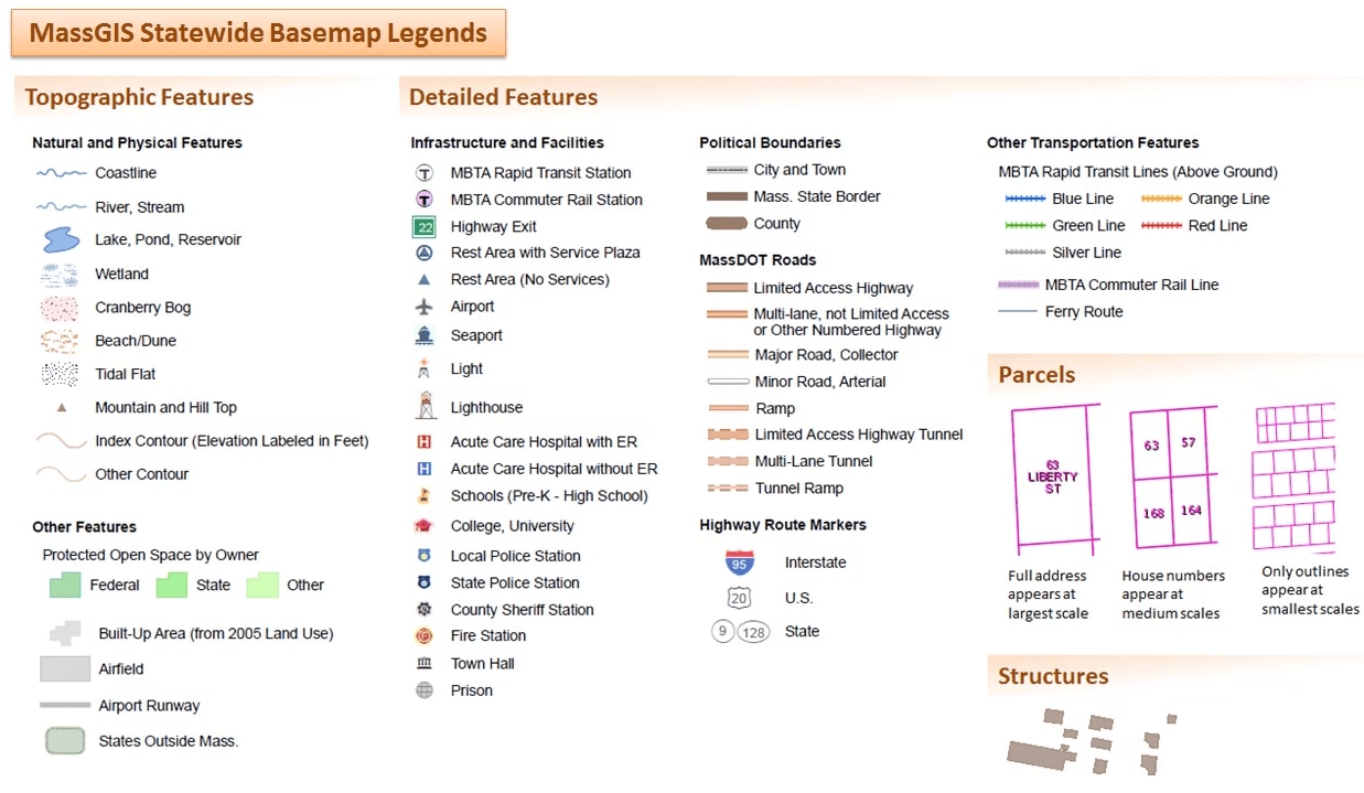
"Topographic Features for Basemap" Terrain and natural features including Shaded Relief (MassGIS); States outside Massachusetts (MassGIS, USGS); Water bodies and rivers, Wetlands, Cranberry Bogs, Tidal Flats (large- and medium-scales - MassDEP and MassGIS, small-scales - USGS); Elevation Contours (large-scale - MassGIS, small-scale - USGS); Protected Open Space (Executive Office of Energy and Environmental Affairs, MassGIS)
The REST URL for this map service is https://tiles.arcgis.com/tiles/hGdibHYSPO59RG1h/arcgis/rest/services/MassGISBasemap/MapServer
-
"Detailed Features"
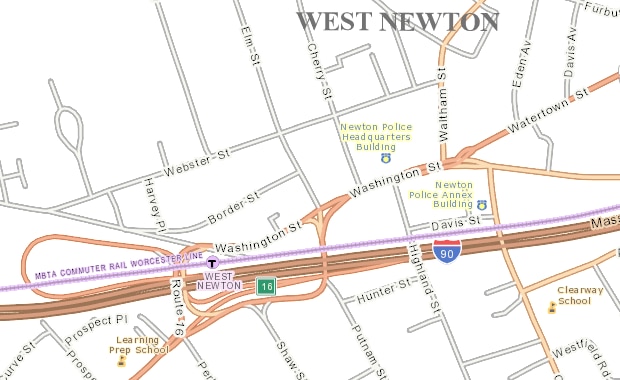
- Political Boundaries: Massachusetts cities and towns, counties and state border (Municipalities, MassGIS)
- Transportation: Massachusetts Department of Transportation (MassDOT) Roads (MassDOT, MassGIS); MBTA subway and Commuter Rail lines and stations (Central Transportation Planning Staff, MassGIS); Airports, Ferry Routes and Seaports (MassDOT); Airport Runways and Airfields (Massachusetts Emergency Management Agency (MEMA))
- Infrastructure and Facilities: Lighthouses and Lights (Massachusetts Coastal Zone Management); Schools (Pre-K - High School) (Massachusetts Department of Education, MassGIS); Colleges and Universities (MassGIS); Acute Care Hospitals (Massachusetts Department of Public Health Office of Emergency Medical Services); Police Stations, Fire Stations, Town Halls (MEMA)
The REST URL for this map service is https://tiles.arcgis.com/tiles/hGdibHYSPO59RG1h/arcgis/rest/services/MassGIS_Basemap_Detailed_Features/MapServer
-
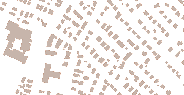
"Structures" Building Structures (2-D) (MassGIS)
The REST URL for this map service is https://tiles.arcgis.com/tiles/hGdibHYSPO59RG1h/arcgis/rest/services/MassGIS_Structures/MapServer
-
"Tax Parcels" Property tax Parcels (MassGIS)
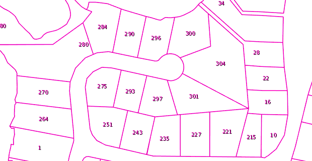
The REST URL for this map service is https://tiles.arcgis.com/tiles/hGdibHYSPO59RG1h/arcgis/rest/services/MassGIS_Level3_Parcels/MapServer
See the individual data layer pages (links above) for dates of each dataset.
Learn how MassGIS is using the Cloud in our mapping and data work
Map Legends
The legends for the basemap tile layers:
Contact for MassGIS Base Map
Online
Address
| Last updated: | January 12, 2024 |
|---|